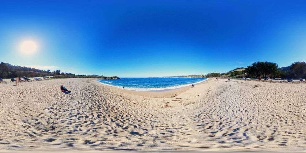
One of the most beautiful coastlines anywhere in the world and should be on everyone’s bucket list. The pacific coastal route through Big Sur extends for around 90 sunny Californian miles, roughly bounded by the Carmel River and the San Carpoforo Creek.
Coming from San Francisco the views start appearing as soon as you pass Monterey Bay and from here onward you’ll be pretty much stopping around every corner getting out, admiring the views and taking many, many photos.
Unfortunately due to recent mud slides, we weren’t able to complete the entire route. Coming from San Francisco, we made it down to slates hot springs. Which we spotted on the map on route and had planned on dipping our testicles in the water, kick back and chill with a beer. Turns out though, the hot springs aren’t public & are reservation only. We tried our best to negotiate, but the dude on the gate was having none of it, so all we could do was turn back. Sad times 😦
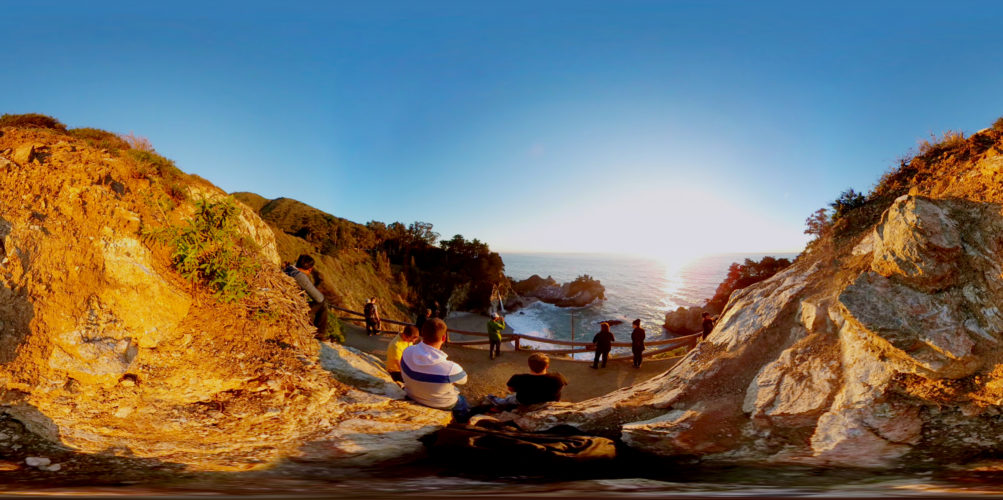
You definitely don’t want to miss McWay Falls. Just park up on the highway and its a short 5 minute walk to one of the most stunning views on the route. It’s a must visit and if you’re here at the right time of day, it’s an amazing place to watch the sunset.
Big Sur is not a city, it’s an area. The Pacific coastal route is the longest and most scenic stretch of undeveloped coastline in the United States. Big Sur is on California’s Central Coast where the Santa Lucia Mountains rise from the Pacific Ocean. Its an isolated stretch of road, mythic in reputation. Big Sur’s Cone Peak at 5,155 feet (1,571 m) is only 3 miles (5 km) from the ocean. The stunning views make Big Sur a popular tourist destination. Ceded by Mexico to the US in 1848, it was the United States, last frontier. The original Spanish-language name for the unexplored mountainous terrain was “el país grande del sur” meaning, “the big country of the south.” It was Anglicized by English-speaking settlers as Big Sur.
The Big Sur Information facebook page, updated by the Big Sur Chamber of Commerce, is a reliable source for up-to-the-minute road conditions in the Big Sur area.
Staying in Big Sur itself the prices are astronomical with even airbnb starting at £477 (entire home) I’d advise camping or stay a little north or south unless money is no object.
- Airbnb, Either stay north near Monterey or South by Lime Kiln State Park, prices start from £36. Get $30 (£25) off your first trip of $70 (£55) or more click here.
- Hostel, There are no hostels in Big Sur.
- Camping, There are loads to choose along the route. If you dont mind a hike though, check out Sykes Hot Springs Campground.
- B&B & Guest Houses, Starting from £99 around Valley View area.
- Hotel, More inns and ranches, but there is still luxury with the 5 star Post Ranch Inn £800+ a night.
CAMPING is NEVER permitted along Highway 1 and Nacimiento-Fergusson Road in Big Sur. You must camp in designated campgrounds.
Unless you save your maps offline you can forget using Google Maps, you may as well forget your phone entirely. The signal drops and stays scarce for the entire route. If you want to know the best hikes, where the best food is, where you absolutely have to stop, you need to do your research and find out in advance. It’s just like reading paper maps from pre 2005 ancient times.
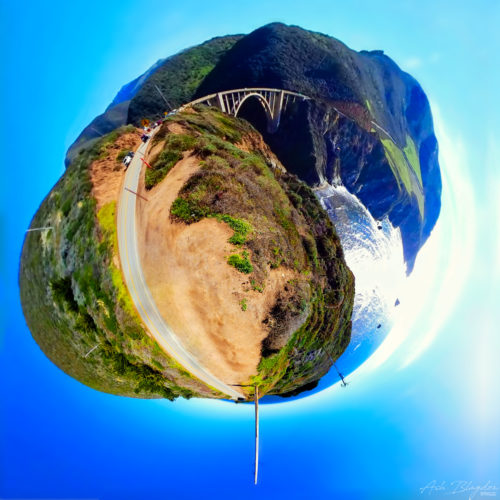
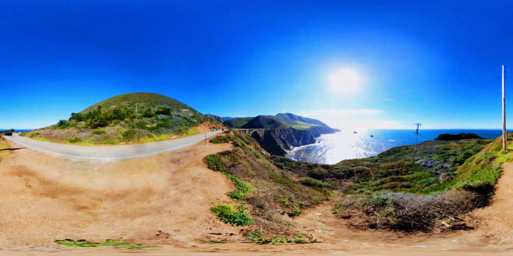
- Bixby Bridge
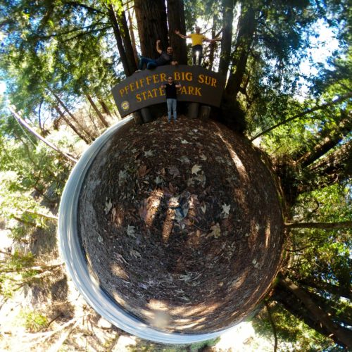
- Big Sur Signage
- McWay Falls
- Pfeiffer Beach
- Whale watching
- Plan ahead, with no signal you won’t be able to use your phone to look for anything.
- Big Sur is expensive, so if you plan on staying I would suggest looking into Airbnb.
- The Big Sur Information facebook page, updated by the Big Sur Chamber of Commerce, is a reliable source for up-to-the-minute road conditions in the Big Sur area.
- Uber Get $5 (£3) credit for your first ride here.
- Get $30 (£25) off your first Airbnb trip of $70 (£55) or more click here.
If you found this helpful, please like and follow my social pages


